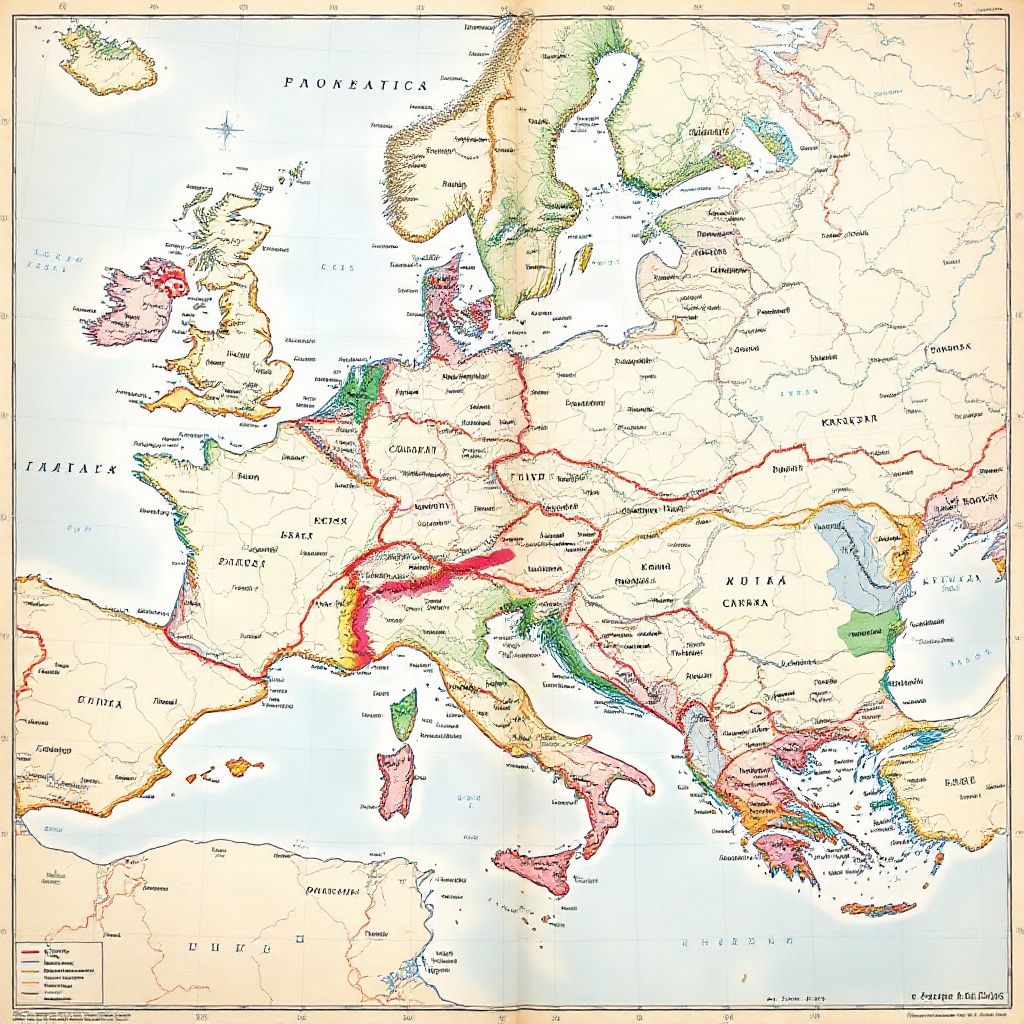
Political maps are essential tools for understanding the complex relationships between countries and regions around the world. By examining the borders, capitals, and geographical features depicted on a political map, individuals can gain valuable geopolitical insights. In this article, we will explore how to effectively read a political map to uncover hidden connections and relationships that shape the global landscape.
Understanding Key Components of a Political Map
A political map typically includes various elements such as national borders, cities, capitals, rivers, and mountains. Each of these components plays a crucial role in providing a comprehensive overview of a country or region. By familiarizing yourself with these key features, you can better understand the geopolitical dynamics at play.
Analyzing Borders and Boundaries
Borders and boundaries depicted on a political map are not merely lines that separate countries; they are often symbols of historical conflicts, cultural divisions, and geopolitical tensions. By analyzing the shape and location of borders, you can uncover the intricacies of past and present relationships between nations.
Identifying Capital Cities
Capital cities serve as the political, cultural, and economic hubs of a country. By locating and studying the capital cities on a political map, you can gain insights into the power dynamics within a nation. Additionally, the proximity of capital cities to borders and key geographical features can reveal strategic alliances and rivalries.
Examining Geographical Features
Geographical features such as mountains, rivers, and coastlines play a significant role in shaping the political landscape. Mountains can act as natural barriers or strategic vantage points, rivers can serve as trade routes or sources of conflict, and coastlines can determine maritime boundaries and access to resources. By paying attention to these features, you can understand the geopolitical significance of a region.
Interpreting Color Schemes and Legends
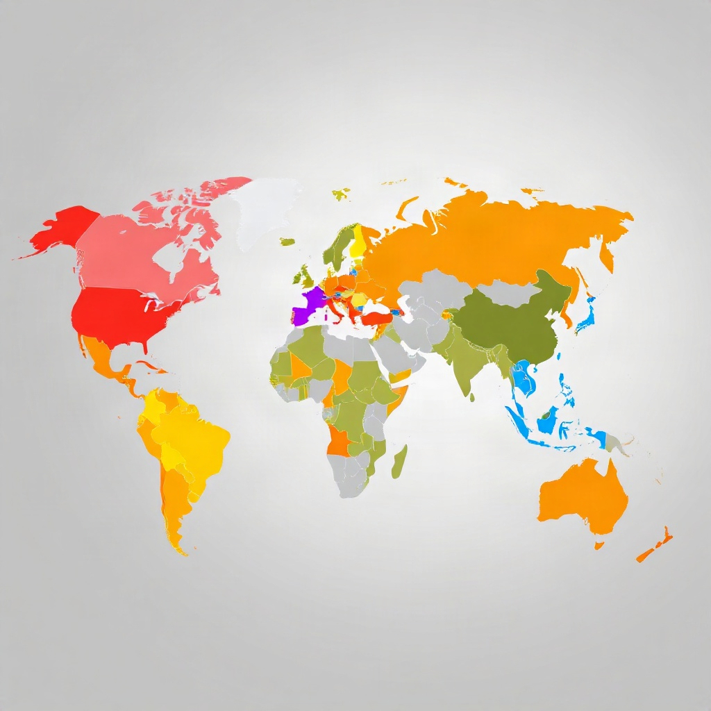
Political maps often use color schemes and legends to represent different types of information, such as political boundaries, population density, and natural resources. Understanding the meaning behind these colors and symbols is essential for interpreting the map accurately and extracting valuable insights.
Utilizing Political Maps for Strategic Analysis
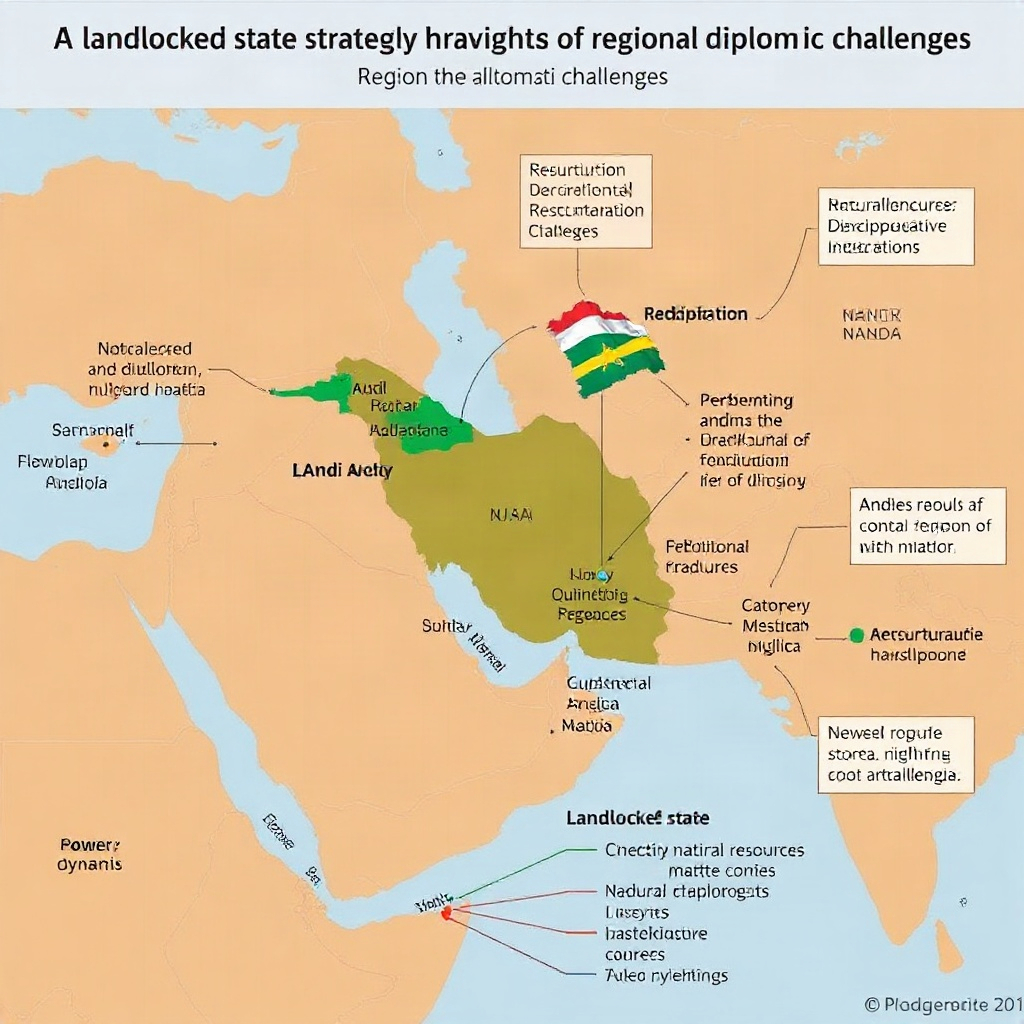
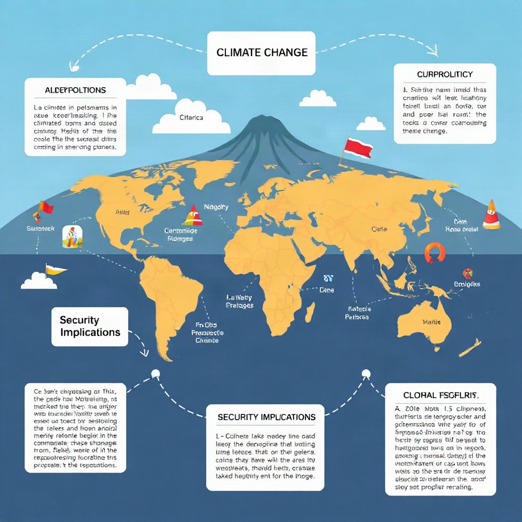
Political maps are invaluable tools for strategic analysis in fields such as diplomacy, international relations, and military planning. By combining a deep understanding of geography with geopolitical insights gained from political maps, individuals and organizations can make informed decisions and navigate complex global challenges.